
About Mount Gede Pangrango
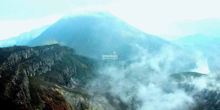
Geologic Overview
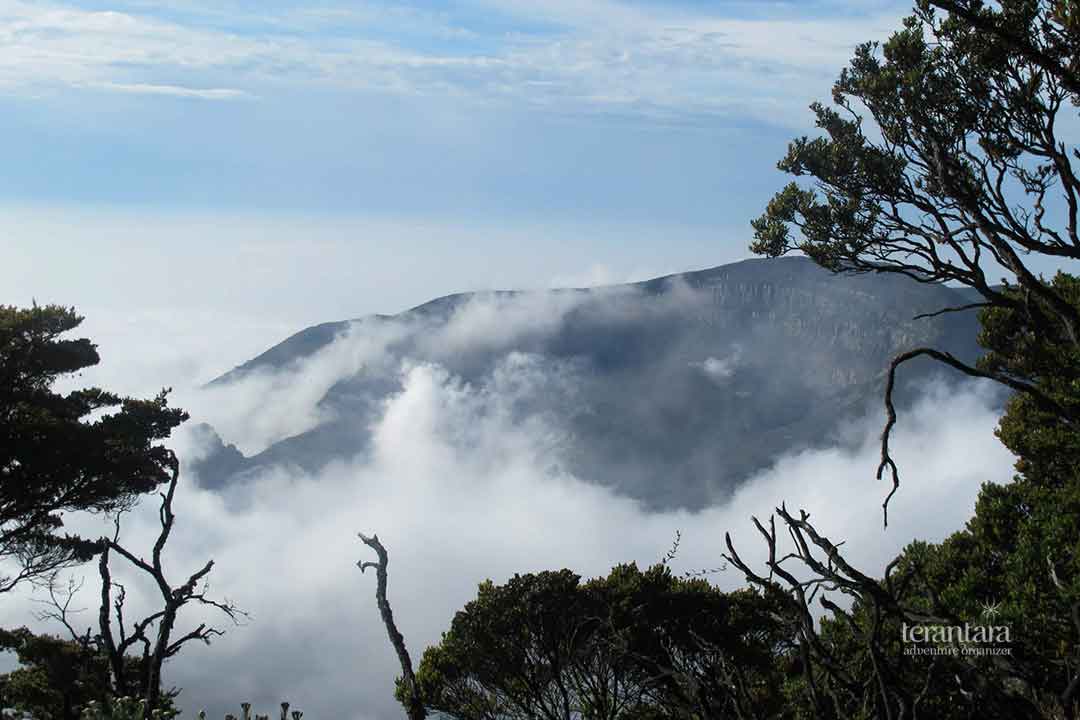
Mount Gede Pangrango is the second-highest volcano in West Java, right after Mount Ciremai (3078 meters above sea level). The southern part is Mount Gede (2958 m), while the northern part is Mount Pangrango (3019 m). At an altitude of 2300 m, the mountain peaks are connected by a watershed. Pangrango volcano has an interesting geological history, having formed over the northeastern rim of a pre-existing caldera measuring approximately 3 by 5 kilometers. This older caldera is now considered to be extinct. In contrast, the younger Gede volcano has been more active.
Eruptions History
Mount Gede’s status is currently normal or dormant. It has an explosive eruption style and has lately only created small explosive eruptions of short duration. This mountain erupted in 1747-48, 1761, 1832, 1840, 1843, 1845, 1847, 1848, 1852, 1853, 1866, 1870, 1885, 1886, 1887, 1888, 1889, 1891, 1899, 1909, 1947-48, 1948-49, 1955, 1956, and 1957.
The volcanic eruptions vary in size, with most of them being small to moderate. Among these eruptions, the one in 1840 stands out as the largest, producing pyroclastic flows. Additionally, the eruptions in 1947-1948 and 1955 were characterized as phreatic eruptions. While the eruptions in 1840 and 1852 caused some damage, fortunately, they did not result in any fatalities. The most recent eruption at Gede occurred on 13 April 1957, during which ash was ejected up to 3 km above the crater. It formed two small cones on the north flank, approximately 11 km from the summit.
The Craters
The active vents at the summit of Gede have exhibited movement over time, migrating about 1 kilometer to the north-northwest. This activity has resulted in the formation of seven distinct summit craters, each with its own unique characteristics and features. These craters are named as follows: Baru, Gumuruh (2,927 meters in elevation), Lanang (2,800 meters), Kawah Leutik, Ratu (2,800 meters), Sela (2,709 meters), and Wadon (2,600 meters). Among these craters, Kawah Lanang and Kawah Wadon are presently the most active, showcasing ongoing hydrothermal activity.
Geographic Overview
Gede Pangrango is located at 6.78°S and 106.98°E. It has a humid tropical climate. On average, the temperature decreases by 0.6oC per 100 m (up to 2000 m of altitude). Above 2000 m altitude, the temperature drops by 0.5oC per 100 m. The temperature at 1400 m usually ranges from 10oC to 26.8oC (mostly around 17.9 °C). Near the peak during dry season, it is usually 8.4 °C to 9.7 °C. Maximum precipitation is between December to January, while minimum is from June to August (Belyanin, 2021, The Landscape Structure of the Gede–Pangrango Stratovolcano).
Gede Pangrango Location and Administrative Overview
The Gede Pangrango lies within Cianjur, Sukabumi, and Bogor. It is located within Mount Gede Pangrango National Park (Taman Nasional Gunung Gede Pangrango / TNGGP). The TNGPP covers 24.270,80 hectares. It was previously known as Cagar Alam Cibodas in 1889, and long story short, it finally became Balai Besar Taman Nasional Gunung Gede Pangrango by February 2007 through SK Menteri Kehutanan Nomor P.03/Menhut-II/2007.
Flora
TNGGP is frequently visited due to the rich diversity of flora it harbors. Within this region, a treasure trove of over 1000 flora species thrives, encompassing approximately 900 flowering plant varieties (Spermatophyta), over 250 fern species, more than 123 moss types, along with a myriad of algae, Spagnum, fungi, and other members of the Thalophyta group.
The park boasts some colossal specimens as well, including the largest Rasamala tree, boasting a trunk diameter of 150 cm and standing at an impressive height of 40 meters, which can be found near the Cibodas post area. Another botanical giant, the largest Puspa tree, sporting a trunk diameter of 149 cm and soaring to a height of 40 meters, graces the Selabintana hiking route. Meanwhile, the largest Jamuju tree is found around the Bodogol post.
Beyond these towering giants, TNGGP also reveals its fascination through unique and captivating species, such as the Nepenthes gymnamphora, Rafflesia rochusseni, and Strobilanthus cernua, a plant known for its rare flowering occurrence once every nine years. The park’s biodiversity indeed serves as a testament to the marvels of nature.


Fauna
The remarkable diversity of flora within this region creates a multitude of habitats that support a wide range of wild animals, mammals, reptiles, amphibians, avian species, insects, and various groups of invertebrates.
Among the avian (Aves), an impressive count of 251 species thrive here, representing over 50% of the bird species found on the island of Java. Notably, the Elang Jawa (Spizaetus bartelsi) stands as a prominent resident. In the group of mammals, approximately 110 species have been documented, including rare and unique inhabitants like the endemic Owa Jawa (Hylobates moloch), Ajag (Cuon alpinus), deer (Muntiacus muntjak), Lutung Jawa (Trachypithecus auratus), and Macan Tutul Jawa (Panthera pardus).
Furthermore, the biodiversity extends to insects (Insecta), where over 300 different types flourish, along with a diverse collection of reptiles totaling around 75 species, approximately 20 varieties of frogs, and a multitude of soft-bodied creatures (mollusks).
How to Access Mount Gede Pangrango
Gede Pangrango is in proximity to Jakarta, making it a tourist favorite. There are 3 gate entries to the TNGGP, namely Cibodas, Gunung Putri, and Selabintana, with Cibodas being the most popular among all. The nearest to Jakarta is the Cibodas entrance as well. The Gunung Putri entrance is 7 km away from the Cibodas gate. Cibodas and Gunung Putri entrances are located in Cianjur, while Selabintana is located in Sukabumi.
Accessing Gede Pangrango From Jakarta
In order to reach Cibodas or Gunung Putri gate from Jakarta, you need to go to Bogor first. The easiest (but the most expensive) option is to rent a car with a driver. Take the route via Jagorawi Toll Road and exit at Puncak, Bogor. Continue driving to the Cibodas or Gunung Putri entry gate in Cianjur. The total distance is approximately 60 km and will take you about 2 hours, depending on traffic.
However, if you prefer to use public transportation, you can select between the train and the bus. For the KRL train, the most common route is Stasiun Jakarta Kota – Stasiun Bogor, which will cost you around IDR 6000. You can book your ticket online by using the C-Access mobile app by PT Kereta Api Indonesia. From Stasiun Bogor take an angkot to Terminal Barangsiang (IDR 5k). Drop off and change your ride to an Elf (another type of local minibus) that will bring you to Pasar Cipanas. It costs you IDR 25k per person. And last, continue your trip by taking a Cibodas – Rarahan angkot.
Just a little reminder, don’t ride the train during busy hours (7-9 A.M. and 4-7 P.M.). The train will be crowded. Another option is to take a bus. You can go to the nearest bus terminal, such as Terminal Kampung Rambutan in Jakarta, and ride a bus to Terminal Ciawi. Then, ride an Elf that will take you to Pasar Cipanas. From Pasar Cipanas, it’s the same, ride the Cibodas – Rarahan angkot to reach your destination.
Accessing Gede Pangrango From Tangerang (Soekarno-Hatta Airport)
If you are a foreigner just arriving from abroad, Soekarno-Hatta International Airport gives you some options to go to Bogor. There is a car rental facility in the airport managed by INKOPAU that operates 24 hours and has a capacity of 5-6 persons. You can also ride a bus called DAMRI that operates between 2 AM to 9 PM from the airport terminal to Botani Square in Bogor. The DAMRI usually costs you about IDR 55k-60k. Then take an angkot from Botani Square to Terminal Ciawi. After that, change your angkot and ride to Pasar Cipanas. Then take Cibodas – Rarahan angkot to reach the gate.
Just note that the traffic to Puncak Bogor is quite heavy, especially during the weekend. Some traffic regulations are applied and may change according to traffic conditions. Make sure that you are updated about current regulations before taking your trip to avoid your hiking plan getting altered due to traffic jams.
Accessing Gede Pangrango From Bandung
Tourists from Bandung usually take a bus (about IDR 60-70k) from Terminal Leuwi Panjang to Terminal Rawa Bango in Cianjur. From the terminal, take an angkot to the Panembong area. Later, ride the Elf and get off in Pasar Cipanas. Then ride Cibodas-Rarahan angkot to the gate. If, for some reason, there is no angkot, you can also ride an ojek. This route took about 2.5 – 3 hours (about 85 km in distance), depending on traffic conditions. Other than buses, there are also some minibusses that the locals call “travel”. Such as Lintas Shuttle or Aragon, which will take you to the Bogor city center. It is more comfortable but will cost you more than a regular bus (around IDR 120k).
Accessing Gede Pangrango From Sukabumi
If you want a different experience, try accessing Mount Gede from Sukabumi and hiking via the Selabintana route. This route is the least favorable, though. Because it is the longest route to the peak, and not much scenery along the trek. The trek is also muddy and has many leeches, making it even less and less favorable for women and families with children. However, this might be challenging for nature lovers and adventure seekers. If you want to get there, first you need to go to Sukabumi by bus and get off at the Alun-Alun Sukabumi. Then ride an angkot or ojek for about 6 km to the Selabintana entry gate.
Mount Gede Pangrango Tickets and Facilities
Ticket Rates
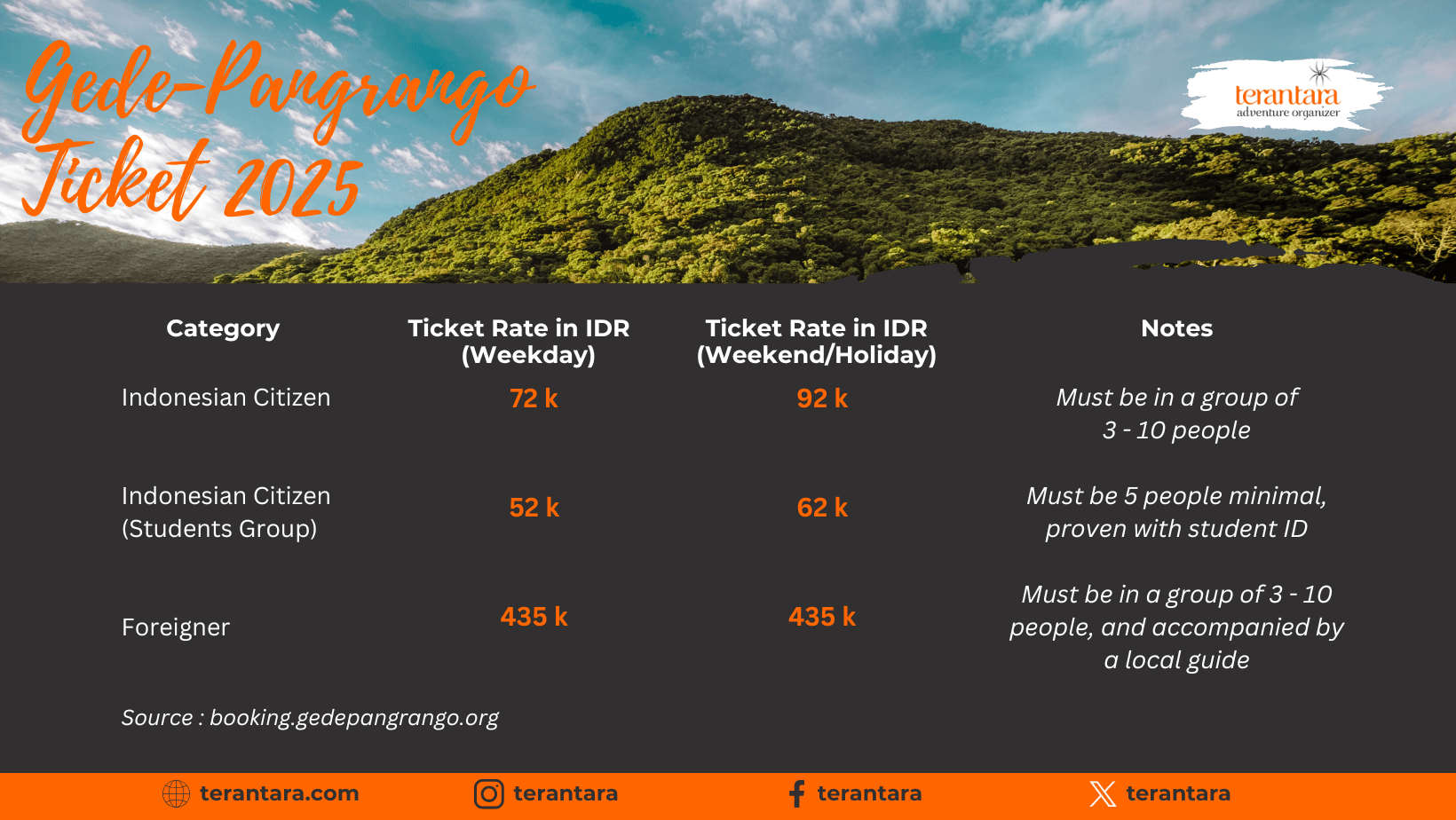
Ticket rates (insurance included) for a 2-day 1-night (2D1N), for each person, are as follows:
| Category | Ticket Rate (Weekday) in IDR | Ticket Rate (Weekend or Holiday) in IDR | Notes |
| Indonesian Citizen | 72 k | 92 k | must be in a group of 3 – 10 people |
| Indonesian Citizen Students | 52 k | 62 k | must be 10 people minimum, proven with a student ID |
| International Tourist (Foreigner) | 435 k | 435 k | must be in a group of 3 – 10 people, and accompanied by a local guide |
Facilities
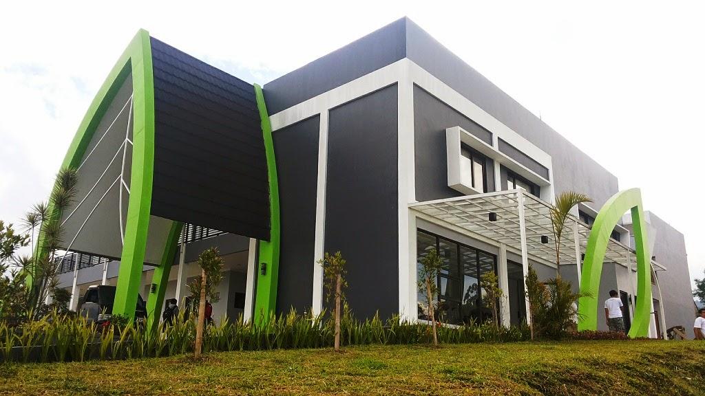
TNGGP provides many facilities to ensure your adventure to Mount Gede Pangrango is safe and comfortable. For information and education purposes, there are some information facilities and interpretation signs. Information facilities available are Wisma Cinta Alam (WCA), the Information Center, the Education Center, and Pusat Pendidikan Konservasi Alam Bodogol (PPKAB). These resources provide you with in-depth knowledge about the park’s ecology, history, and conservation efforts, enriching your adventure. Interpretation signs include things like storyboards, displays, signboards, and direction boards. All to enhance your understanding of the park’s diverse flora and fauna, making your trek a learning experience.
The facilities for hiking are also adequate. The trail is well-maintained and will lead you through dense forests, across serene meadows, and up to the breathtaking peaks of Mount Gede and Mount Pangrango. Along the trails, you’ll find strategically placed shelters and gazebos, providing a perfect spot to rest, savor a meal, and take in the awe-inspiring scenery. Toilets are also available to ensure your personal hygiene. For Muslims, several musholas are built for you to pray comfortably during your journey.

What to Do in Mount Gede Pangrango
Camping
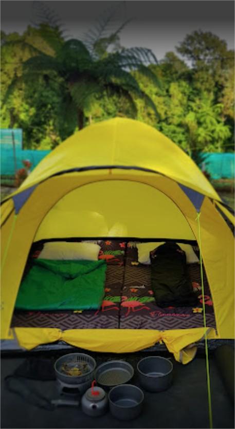
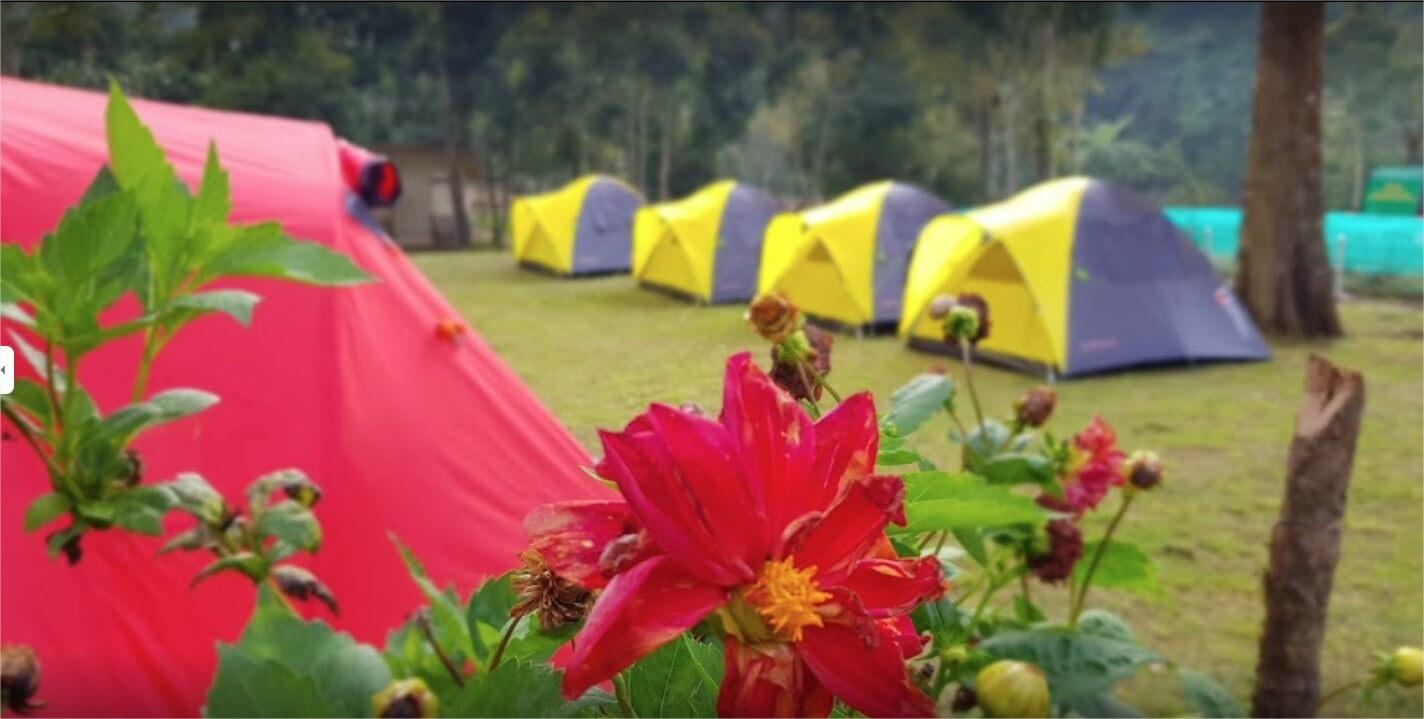
If you want to enjoy the weekend with your family, there are at least 12 camping grounds for you to choose from. Namely Bumi Perkemahan (Buper) Barubolang, Buper Sanmon, Lebak Ciherang, Bukit Bodogol, Blok Losbecak, Puspa Camp, Harendong Camp, Bagedor Camp, Tepus Camp, Petak 84, Sarongge, and Bobojong. Not much information is available related to each camping ground, so we summarized some of it for you.
Buper Barubolang
Nestled in the northern part of Gunung Gede Pangrango National Park, you’ll discover Barubolang camping ground. Situated in Sukagalih Village within the Cisarua Resort area, the topography varies from gentle hills to imposing mountains, with elevations hovering around 500 meters above sea level. The climate offers a refreshing escape, with temperatures ranging from a pleasant 18°C to 32°C, and an annual rainfall averaging around 31,000 mm. Spanning 2 hectares, Barubolang camping ground provides ample space, accommodating up to 200 people. Whether you’re seeking a peaceful retreat amidst the hills or an adventure in the mountains, this spot offers an ideal setting for your outdoor experience.
Bukit Bodogol
Bukit Bodogol Camping Ground lies within Sukabumi area. It is a peaceful spot near the Bodogol Nature Conservation Education Center or Pusat Pendidikan Konservasi Alam (PPKA), which is still part of the Gunung Gede Pangrango National Park. Local folks manage Bukit Bodogol, and the camping fee is just IDR 30,000 per person, including parking for one night. If you want to check out PPKA Bodogol and explore Gunung Gede Pangrango National Park, it’ll cost you an extra IDR 50,000 per person. This covers your tickets and insurance. When you visit PPKA, they provide an interpreter to explain the national park’s ecosystem, which costs an additional IDR 100,000 per group.
Bagedor Camping Ground
Bagedor Camping Ground is near the Caliandra camping ground in the PTPN Situ Gunung Resort area. This camping ground is very large, reaching 700 square meters with a capacity of up to 200 people.
Bumi Perkemahan Harendong
The name of this campground is taken from the name of the Senggani or Harendong plant, an upright shrub 0.5 m – 4 m high that often grows on mountain slopes. Bumi Perkemahan Harendong is included in the Situ Gunung Nature Tourism area. Large and old Damar trees (Agathis sp.) and many ferns grow around the campsite.
Camping Ground Tepus
The campsite’s name was taken from the Tepus plants with the Latin name Achasma megalacheilos. This campsite is to the south of Situ Gunung Lake.
Petak 84
Petak 84 covers 4 hectares of land and is adorned with an abundance of pine trees, perfect for placing hammocks and swings. Therefore, this spot gained popularity and became a beloved destination. Petak 84 is conveniently located just a few minutes away from Gekbrong Market, making it effortlessly accessible for anyone.
Sarongge
Sarongge is located in the Cianjur area, West Java. This place is well-maintained, and the toilets are good and clean. There is also a new facility called Wisma Sarongge that has just been built, if you don’t want to camp and want to spend the night at the inn instead. Sarongge Camping Ground is at an altitude of 1,600 meters above sea level, so it is really cold. The camping ground capacity is around 50 people.
Bobojong Camping Ground
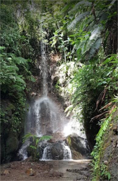
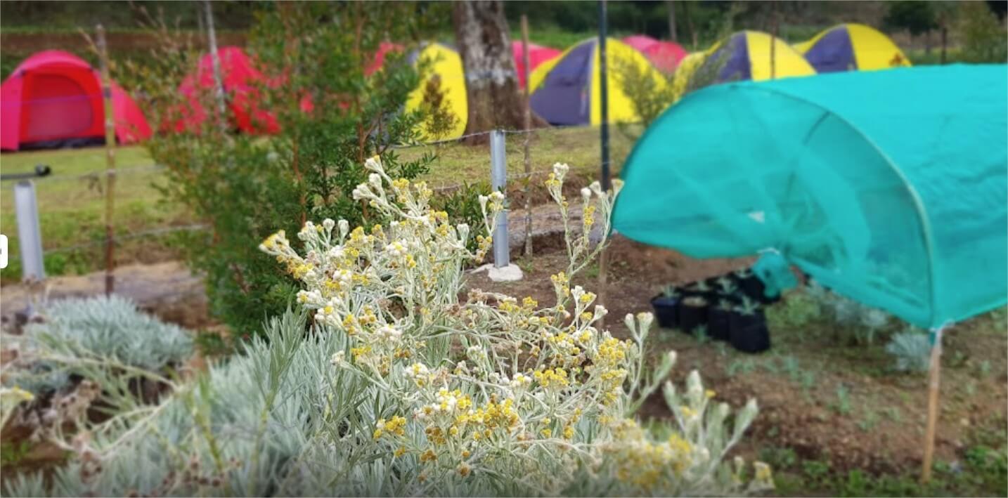
Some people call it a hidden gem because there is an area of edelweiss field in Bobojong Camping Ground. PTN Gunung Putri officers and the locals planted the flowers in October 2020. Now the flower is blooming elegantly, and you can feel the unique experience of camping near the Javan Edelweiss field. There is also a waterfall (curug) nearby, making this camping ground exceptional.
Hiking
Mount Gede Pangrango via Cibodas
Hiking Through Telaga Biru
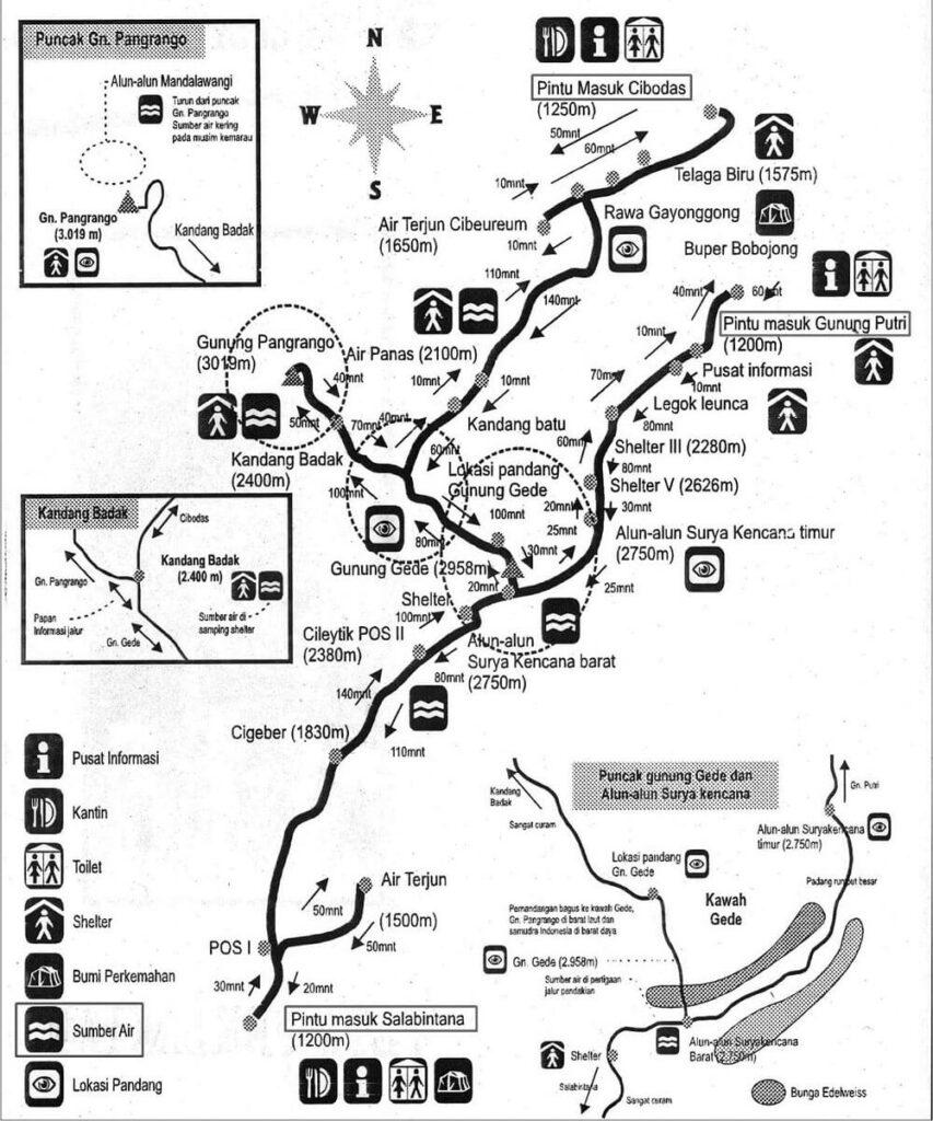
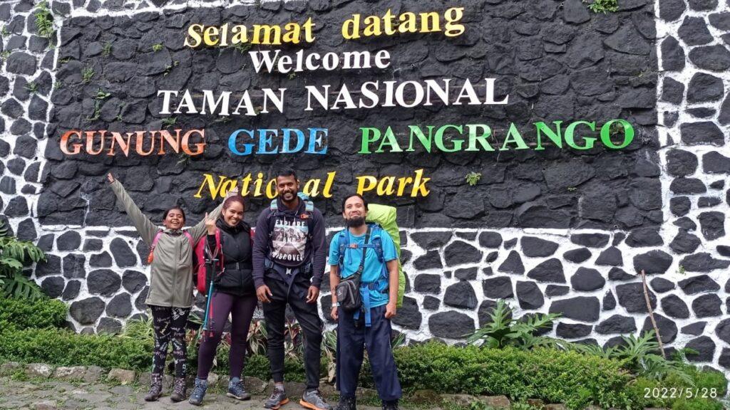
Cibodas is the most popular route for hiking Mount Gede Pangrango. This is mostly because the path is quite steep and the scenery is breathtaking. There are also several tourist attractions such as Telaga Biru and Cibeureum Waterfall. The journey from the Cibodas registration post to Telaga Biru took about 30 minutes. You will see a lot of people passing by. Most of them are tourists visiting Telaga Biru and Cibeureum Waterfall.

Hiking to Kandang Batu
Next, we will pass through the swamp area. The trek is made of concrete, so it is comfortable to walk on. After leaving the swamp area, the path is rocky, and the trek is steep. The tiring journey up the mountain starts from here.
After passing the swamp area, we will enter the hot spring area. The track we will be going through is very extreme, so you have to be really careful. This hiking trail penetrates the flow of hot water from Mount Gede. We will walk slowly while holding onto the webbing. Beside the hot spring route is a steep ravine. After that, we will arrive at the shelter. Toilets are available in this area. The journey from the swamp area to the hot spring area took around 2 hours and 30 minutes.
Then we will continue to Kandang Batu. You can camp at Kandang Batu and the capacity is large enough for several tents. After passing through Kandang Batu, we will pass the Panca Weuleuh waterfall before finally arriving at Kandang Badak. There is a water spring her,e and Kandang Badak is the perfect spot for setting up a tent. The area can accommodate dozens of tents. The journey from the hot springs to Kandang Badak took about 2 hours.
Hiking to The Summit
The next day, we can choose to go left if we want to go to the Mount Gede summit. Or choose to go right if we want to reach Mount Pangrango summit. The trip from Kandang Badak to the peak (whether it is to Mount Gede or to Mount Pangrango) takes approximately 2 hours. If you are fit and experienced, you can hike two summits in a day, just like our guests here.

Mount Gede Pangrango via Gunung Putri
Climbing Mount Gede Pangrango via Gunung Putri is more challenging due to its steep trek and lack of water sources. However, this route has the shortest distance compared to other routes. There are 5 posts to the peak on this route. In sequence, namely Pos Informasi, Pos Legok Leunca, Pos Buntut Lutung, Pos Simpang Maleber, and Pos Alun-alun Surya Kencana Timur.
Hiking to Alun-Alun Surya Kencana
The journey from the registration post to Post 1 is around 2 km, passing through residents’ agricultural fields before entering the forest. There is also a water source along the way. The journey to post 1 takes around 1.5 hours.
From Post 1, we continue to hike to Post 2. The trek soil is red and rocky, with lots of protruding roots. Be careful with your steps. The distance from post 1 is about 500 meters and generally takes 30 minutes. Then continue to Post 3, which is about 1 km away and takes approximately 1.5 hours.
From Post 3, the climb is getting tough with lots of steep treks. We will pass a shadow post called Lawang Saketeng, at an altitude of 2490 meters above sea level. Climbers can rest for a while at this pseudo-post. After that, continue hiking to Post 4, which is located at an altitude of 2627 meters. It takes approximately 2 hours.
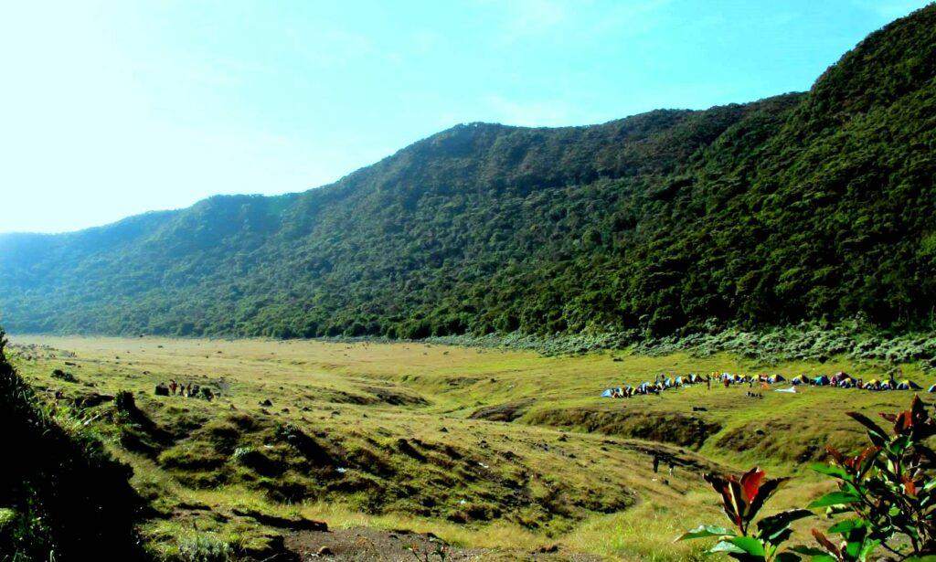
Last, hike to Post 5, which is 500 meters away. It will take about 45 minutes. This post is called Alun-Alun Surya Kencan,a which is an open area of 50 hectares. This place is very popular and is a favorite location for camping. This is caused by the presence of Javan Edelweiss (Anaphalis javanica) plants that grow in the area. Apart from that, there is a water source here to meet the needs of climbers.
Hiking to The Mountain Peak
After spending the night at Alun-Alun Surya Kencana, we can continue to summit the next day. The peak of Mount Gede can be reached within 1 hour from Surya Kencana. The Pangrango Peak, though, is much farther away. It might take at least 3 hours from Surya Kencana to the top of Mount Pangrango.

Mount Gede Pangrango via Selabintana
Hiking to Cileutik Post
Gede Pangrango via Selabintana is the longest route, with a distance of approximately 14.5 km to the peak of Mount Gede. The journey can take 8 to 12 hours, depending on your physical strength and hiking experience. The path is muddy and there are lots of leeches along the way. The Selabintana route has only one water source point, so make sure you bring enough water and food supplies. There are 3 posts on this route, namely Cigeber, Cileutik, and Simpang Gumuruh.
Not many hikers use this route, so the climb is really quiet. The forests are dense. It is not advisable to have direct contact with the trees or soil when you are resting because you might be bitten by leeches. After 3 hours of hiking from the starting point, you will arrive at Cigeber Post. From the Cigeber Post, continue hiking for about 3 hours to arrive at Cileutik Post. There is a water spring here and you can camp in this area.
Hiking to The Mountain Peak
From Cileutik Post to Simpang Gumuruh Post will take about 1 hour. Be careful because the trek is steep and slippery. There might also be some fallen trees along the way. Then, hike from Simpang Gumuruh to Alun-Alun Surya Kencana Barat. Continue hiking and you will reach the peak of Mount Gede within 1 hour. Some people choose to camp at Alun-Alun Surya Kencana Barat and enjoy the view before going to Mount Gede summit the next day. Mount Pangrango, on the other hand, is so far away. If you want to reach Pangrango, it is better to hike from Cibodas instead.
If you are a nature enthusiast visiting Indonesia, it will be a shame to miss the opportunity of hiking one of the highest volcanoes in Java. As stated above, there are 3 routes to climb Mount Gede Pangrango: Cibodas Route, Gunung Putri Route, and Selabintana Route. The maximum visitors per day is limited to 600 (as per 11 May 2025). The hiking permits can be booked prior to 2 weeks in advance. You can exchange the printed online booking form with SIMAKSI (Surat Izin Masuk Kawasan Konservasi) at the registration post. Foreign tourists must be accompanied by a local guide.
Bird Watching
Observing birds in nature provides a sensation of ultimate solace for bird watchers. Bird watchers are willing to penetrate forests, climb mountains, and walk along rivers to observe birds, making it a wonderful adventure with immeasurable satisfaction. Bird watching in Gede Pangrango is usually performed around Curug Cibeureum (Cibeureum waterfall) and the Mandalawangi area.
There are not least 251 species of birds in Gede Pangrango, which are categorized into 48 families. Walet linchi (Collocalia linchi), Sikatan kepala abu (Culicicapa ceylonensis), and Sikatan Bubik (Muscicapa dauurica) are some of the main species inhabiting the area. TNGGP is also a home for 5 rare species protected by Indonesian law (Peraturan Pemerintah Nomor 7 Tahun 1999 tentang Pengawetan Jenis Tumbuhan dan Satwa), namely the Elang Hitam / Black Eagle (Ictinaetus malaiensis), Cekakak Jawa (Halcyon cyanoventris), Burung Madu Jawa (Aethopyga mystacalis), Kipasan Belang (Rhipidura javanica), and Tepus Pipi Perak ( Stachyris melanothorax).
Gathering and Team Building
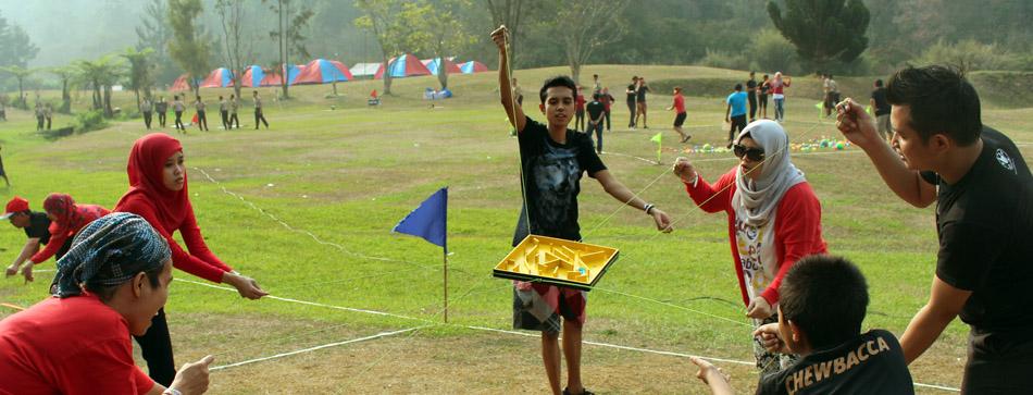
Gede and Pangrango mountain peaks and the green forests offer an unparalleled backdrop for team-building and gathering events. The peaceful ambiance at the mountain base creates a sense of unity and focus, making it the perfect escape from the hustle and bustle of everyday life. Terantara Adventure Organizer is ready to assist you in gathering or team-building activities and transform this natural haven into a platform for personal growth and team bonding.
0 Comments